
New assays from reverse circulation drilling samples at the Rock of Ages gold project have confirmed high-grade mineralisation for owner Western Mines Group (ASX: WMG).
A total of 52 one-metre samples were selected and submitted for follow-up geochemical assay based on previous composite sample results.
They assayed up to 10.85 grams per tonne gold and confirmed the project’s high-grade potential.
Gold mineralisation was seen in every hole, with standout results of 5m at 3.12g/t from 91m, including 1m at 10.85g/t from 91m; 3m at 2.66g/t from 85m, including 1m at 6.82g/t from 86m; and 1m at 1.88g/t from 58m.
The mineralisation remains open at depth and along strike to the north and south.
Gold lodes
More encouragingly, Western Mines said the results showed evidence for up to five stacked gold lodes which appeared to correlate well between drill holes.
“Generally, better assay results were seen in fresher, less weathered rock versus the highly weathered upper saprolite,” it said.
“The combination of grade, multiple lodes and better results in fresh rock lends strong support for further drill testing, where broader high-grade zones may hopefully be encountered at depth.”
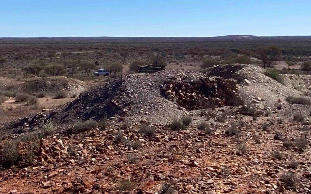
Project location
The Rock of Ages project is located approximately 32km southeast of Laverton along the Laverton Greenstone Belt.
It sits around 4.5km south of the historic Burtville mining centre and is surrounded by Focus Minerals’ (ASX: FML) Laverton gold project, with the neighbouring deposits of Burtville (206,000 ounces at 0.96g/t gold) and Karridale (1.19Moz at 1.33g/t gold) within a 5km radius.
The tenement contains the Rock of Ages workings where historic records indicate that 2074oz gold was mined between 1902 and 1911 at an average grade of 50g/t.
Drilling program
Western Mines completed an initial five-hole reverse circulation program in September totalling 654m to test beneath the main central cluster of shafts and workings and area of extensive mullock dumps.
The holes ranged in depth from 120m to 150m and were drilled across four lines along the strike of the trend of shafts and workings to target an inferred sub-vertical mineralised horizon dipping towards the west.
Drilling predominantly intersected sheared felsic volcanics which were often heavily weathered down to approximately 90m.
Initially, 288 composite samples were collected for geochemical assay with 4m samples taken from 0m to 40m down each hole and 2m composites taken from 40m to end of each hole.
Based on previous composite sample results, a further 52 individual 1m samples were selected and submitted for follow up geochemical assay.
Get the wire before the market opens.
The ASX small-cap stories that matter, filed before 9am AEST. Curated by the Small Caps desk.