
- 01Gravity survey on 32km Ruddygore to refine targets.
- 02879-station infill at Torpy's silver-lead-zinc.
- 03Grant $383k funds Ruddygore; accelerate targeting.
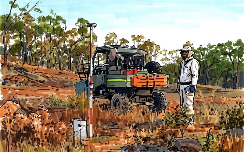
Ballymore Resources (ASX: BMR) has commenced a high-resolution gravity survey across a 32-kilometre mineralised corridor targeting large-scale silver-lead-zinc and skarn-porphyry systems at its Ruddygore project in north Queensland.
The survey is designed to improve the company’s understanding of sub-surface geology to delineate potential blind orebodies and significantly improve drill targeting.
Ballymore is also to conduct a separate detailed infill survey of 879 stations at the high-grade Torpy’s silver-lead-zinc discovery, as well as the MAN03, Eleventh, and Armada East polymetallic systems to refine and prioritise drill targets.
Both surveys are being funded under the Queensland government’s collaborative exploration initiative, which granted Ballymore $383,000 for transformational geophysical programs at Ruddygore and Dittmer.
New Silver-Base Metal System
Torpy’s is emerging as a potentially significant silver-base metal system, and Ballymore believes the combination of strong silver grades, shallow mineralisation, and clear expansion potential position it as a highly attractive exploration discovery.
The current 3,000-metre program is looking to test extensions to newly-recognised high-grade shoots and several additional structural targets identified from Ballymore’s evolving geological model.
Reverse circulation drilling has already confirmed multiple high-grade mineralised shoots across a growing footprint.
The Ruddygore project covers an area of 556 sq km approximately 150km west of Cairns adjacent to the town of Chillagoe, a significant mining and smelting centre that was most active from 1888 to 1927.
The region also saw substantial production of gold, copper, and silver from the Red Dome mine between 1986 and 1997.
Major Step Forward
Managing director David A-Izzeddin said the surveys marked a major step forward in the systematic exploration of Ruddygore.
“We are targeting multiple high-priority silver-lead-zinc and copper-gold systems across a highly prospective corridor, with the survey expected to significantly enhance our understanding of the sub-surface geology and improve drill targeting accuracy,” he said.
“The integration of gravity data with existing electromagnetic datasets provides us with a powerful exploration toolkit to identify blind massive sulphide and skarn-hosted deposits, while reducing exploration risk and accelerating target generation across the broader project area.”
The work is scheduled for completion within three weeks, with rapid modelling and interpretation to accelerate exploration targeting and future drilling campaigns.
Get the wire before the market opens.
The ASX small-cap stories that matter, filed before 9am AEST. Curated by the Small Caps desk.