
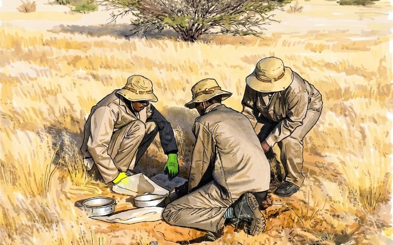

- 01Askari starts Phase 1 at Uis EPL 7626 to find buried LCT pegmatites.
- 02Soil grid ~68km2; >4k samples; LIBS onsite.
- 03Sentinel-2 guided targets; plan trenching.
Askari Metals (ASX: AS2) has commenced a Phase 1 field program at the wholly-owned EPL 7626 licence, which forms part of the Uis project in central-west Namibia.
Uis is highly-prospective for polymetallic mineralisation including tin, tantalum, rubidium, caesium, and lithium.
The program will include geological mapping, rock chip sampling, and a geochemical soil sampling campaign to detect buried lithium-caesium-tantalum (LCT) pegmatites across the licence area.
Askari will use the results for subsequent systematic trenching work on high-priority targets.
Remote Sensing Study
An earlier in-house remote sensing study was carried out over EPL 7626 utilising Sentinel-2 multispectral satellite imagery to identify lithological zones with spectral signatures matching tin-tantalum pegmatite-hosting mica schists mapped on Askari’s adjacent EPL 7345 licence.
The same schist units are interpreted to trend north-east from EPL 7345 and Andrada Mining’s Uis tin mine onto EPL 7626, beneath surface cover.
Andrada’s operation hosts a resource of 77.51 million tonnes at 0.79% lithium oxide, 0.15% tin, and 82 parts per million tantalum.
Askari believes the findings highlight the prospectivity of EPL 7626, suggesting the potential for buried tin-tantalum pegmatites on the licence.
Soil Sampling Campaign
The remote sensing study informed the 400 metre x 40m grid layout for Askari’s planned soil sampling campaign to detect geochemical halos potentially linked to concealed pegmatites.
This program will take more than 4,000 samples over approximately 68 square kilometres, providing a balance between regional coverage and resolution appropriate for detecting tin-tantalum anomalies associated with buried LCT pegmatites.
Sample preparation will be conducted on-site using dry sieving to obtain an optimal particle size distribution.
The resultant samples will be analysed using Askari’s LIBS (laser-induced breakdown spectroscopy) system to screen for geochemical anomalies and identify priority areas for infill sampling.
Valuable Exploration Technology
Askari executive director Gino D’Anna said the company’s Sentinel-2 technology had been a valuable part of the exploration process.
“The in-house re-processing of high-resolution satellite imagery and the development of our remote sensing hyperspectral methodology has allowed us to optimise our desktop targeting technique for the Uis project,” he said.
“Our optimised technique accurately defines all outcropping and sub-outcropping pegmatites on the project and clearly delineates the different regolith domains, which is important for our upcoming sampling surveys.
Askari has used this same exploration model to interpret the mineralised trend north-east from EPL 7345 through the Uis mine and onto EPL 7626.
“Our exploration at EPL 7626 will then be expanded through systematic trenching to test the high priority areas identified through the planned soil geochemical survey—the next few months promises a steady flow of news from Uis,” he added.
Get the wire before the market opens.
The ASX small-cap stories that matter, filed before 9am AEST. Curated by the Small Caps desk.